
Walk a Beloit Street by Address
A current street search works as a chain. The City of Beloit points tax users to the Rock County database, but city parcels are assessed by the City Assessor. The county Real Property Lister expressly excludes Beloit and Janesville. That split matters when a street directory result needs confirmation.
Keep a log for each address: spelling, directional prefix, parcel or Tax ID, legal description, owner, tax mailing address, and record date. Do not merge nearby units merely because names look alike.
- Normalize the address, then open the Rock County Tax Database Search.
- Confirm the parcel in the Rock County GIS map.
- Copy the owner and legal description, then search deeds by party or tract.
- Inspect the instrument image. An index hit alone does not establish its effect.
- Use dated reverse directories for older occupants.
Repeat the same steps parcel by parcel. That keeps one uncertain match from becoming a block-wide error.
Beloit Street Directory Entry Points
The county tax portal describes parcel, current-tax, and historical information. Beloit’s instructions confirm three routes, but the landing screen did not expose every result field. Do not assume an owner filter, sketch, exemption, or ZIP browse exists until it appears in a live result.
| Route | Input | Status |
|---|---|---|
| Property address | Street address | Confirmed by city instructions |
| Parcel number | Parcel identifier | Confirmed route |
| Tax ID | Tax identifier | Confirmed route |
| Owner or ZIP browse | Not verified | Check live portal |
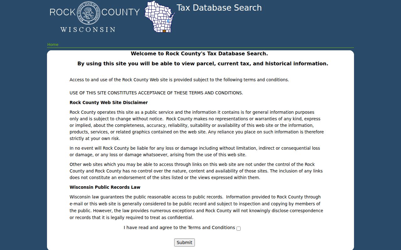
The official landing screen shows the terms for this public database.
Beloit Records Arranged by Street
No source names everyone along a Beloit road. Tax files focus on parcels and billing. GIS supplies spatial context. Deeds prove recorded interests. Municipal files can date work at a site. Historical directories are snapshots, not current rolls.
| Address source | Keeper | Evidence | Access |
|---|---|---|---|
| Tax record | City Assessor and county tax system | Parcel and tax history | Portal or counter |
| Parcel map | Land Information Office | Boundaries and roads | GIS or data request |
| Instruments | Register of Deeds | Parties and legal description | Tapestry, Laredo, counter, books |
| Permits | City of Beloit | Dated work at an address | Department request |
| Reverse directories | Libraries and archives | Dated address listings | Scan, shelf, or staff request |
A tax mailing address may identify an agent, business, attorney, or post office box. It is not proof that an owner lives at the situs, the land’s physical address.
Turn a Beloit Address Into Title
The Register of Deeds search page explains the break between address finding and title proof. Most real-estate documents are scanned back to 1830. Document-number searching reaches that span; party and document-type searches begin in 1956; legal-description searching begins in 1978. The index cannot search an address or parcel number.
Translate the address through tax or GIS. Then search a party, book and page, certified survey map, subdivision lot and block, or tract. Tapestry costs $8.75 per search and $1 per printed image. Laredo uses a subscription. The office at 51 South Main Street in Janesville offers weekday counter access plus deed books, tract indexes, plats, and microfilm help.
Search spelling variants and names with and without middle initials. The county calls this a working index, so omissions and original-name errors can occur. Images may have pale ink or hard handwriting, yet the image conveys more than a short index row.
Key distinction. The address finds land; the recorded instrument documents the transaction.
Beloit Streets Follow the River
Beloit uses the Rock River as its east-west dividing line. Streets crossing it use East and West directionals. North and South labels apply to roads parallel to the river, and number units generally represent twenty feet. On crossing streets, odd numbers are north and even numbers south. Parallel roads put odd numbers west and even numbers east.
The Town of Beloit follows a different grid tied to the state line and river. A Beloit mailing label may therefore describe a city parcel, town parcel, or nearby pocket. Confirm jurisdiction in GIS before seeking city permits.
The numbering grid also helps when a historic source uses only a street name or an incomplete directional. Compare the old entry with the river side, parity, lot map, and nearby cross streets before assigning it to a modern parcel. Early Beloit directories and the 1890 Sanborn sheets may describe a commercial block that later changed use or numbering. A match based only on the modern numeral can therefore attach the wrong household or business to the site.
State-line geography adds another test. Beloit and South Beloit appear together in some historical directory coverage, while the Town of Beloit and City of Beloit use overlapping postal language but different municipal systems. A family or firm can seem to vanish when it moved only a short distance into Illinois or outside the city boundary. Preserve the jurisdiction printed in the source, then consult the corresponding Wisconsin or Illinois custodian. Rock County evidence does not prove that the parcel was within Beloit city limits.
Annexed edges and postwar subdivisions need the same care. A plat or certified survey map can explain how a tract became numbered lots, and a deed legal description can connect that map to the tax parcel. When street spelling and parcel geography disagree, use the recorded plat and legal description as the bridge instead of forcing an approximate address match.
- Parcel
- A mapped unit of land used in tax and land records.
- Situs address
- The physical location, unlike the tax mailing address.
- Plat
- A recorded map dividing land into lots, blocks, and streets.
- Criss-cross directory
- A directory arranged by address or phone rather than surname.
Beloit Street History in Print
Modern numbers do not always align with old volumes. An eight-sheet December 1890 Sanborn map and city directories reaching 1858 can bridge an old road to a later lot. Plats, map sheets, business listings, and deeds should be read together.
The Library of Congress identifies Janesville-Beloit criss-cross coverage from 1980 through 1995. Local collections also hold phone books. The Beloit city directory collections provide the full shelf history; for a by-street search, each volume is simply dated evidence of what was printed at an address.
A subscription directory was never a census. Preserve old spelling and record proposed corrections separately.
Beloit Municipal Address Evidence
Planning, building, and infrastructure files can add dates without naming a household. In June 2025, Beloit notified addresses with lead, galvanized, or unknown private-side service-line material. The city explained that its segment ends at the curb stop. That inventory ties municipal activity to land while customer details stay private.
Request a specific record type and date span from the relevant department. Under Wisconsin Public Records Law, a request needs no special phrase. Department files, City Hall counters, email, written requests, and statutory access remain useful when no address portal exists.
Note: An infrastructure notice proves city attention to a parcel, not who lived there.
No Beloit Voter Street Roll
MyVote Wisconsin is for a person’s own registration. Name mode requires first name, last name, and birth date. Address mode requires street, unit, city, and ZIP. It can show that user’s registration, polling, ballot, and voting history. It does not browse all voters on a block.
The City Clerk handles municipal elections, while the County Clerk handles county functions. Confidential electors and Safe at Home participants receive extra protection. A gap may reflect law, not failed technology.
Beloit Deed Access Has Layers
Digital access does not mean every year works the same way. The county reports that most real-estate records are scanned back to 1830, while its historical list places deeds, mortgages, and surveys at 1839. Those statements describe different parts of the collection, not a promise that every early instrument forms one seamless online chain. The first Rock County courthouse burned in 1859. Anyone following an early Beloit street should ask whether a volume is original, reconstructed, abstracted, or preserved on microfilm.
Access also changes with the task. Tapestry suits occasional remote searches. Laredo requires a subscription agreement. The Register of Deeds counter provides staff, books, tract indexes, and older media. A mailed or focused records request can help when travel is not possible. Rock County Historical Society offers separate house and family research at forty dollars per hour with a twenty-five dollar minimum when the question extends beyond recorded title.
Paid solicitations deserve care. Wisconsin consumer guidance says a commercial deed-copy offer must disclose that it is not from government and may not charge more than four times the government record cost. Verify any bill, permit demand, or copy offer through the office official government page before paying. A polished mailer is not proof that a fee came from the city or county.
Note: Early index dates do not guarantee that each original volume survived intact.
Check Each Beloit Street Result
Verification is especially important where a street name, directional, or unit has changed. Start with the parcel identifier because it follows land more reliably than a typed address. Compare the legal description on the tax or GIS record with the subdivision, lot, block, survey map, or tract shown in the recorded instrument. If they differ, stop and resolve the mismatch before adding an owner to the street directory.
Dates control the meaning of each hit. A tax database may show current and historical tax information, while a deed records an event on a particular date. A permit can mark work after a sale. A reverse directory may have been compiled months before publication. Write down the as-of date rather than calling all results current. For a corrected or certified record, ask the named custodian instead of copying an unverified portal screen.
The City Assessor is the correct assessment route for land inside Beloit. The county Treasurer can answer tax-payment questions at 608-757-5670 on weekdays. The Land Information Office handles map and data channels. Register of Deeds staff can explain index routes, recorded images, book and page references, and older counter material. Keeping those roles distinct prevents a tax question from being sent to the deed office or a title question from being treated as a GIS issue.
Wisconsin Public Records Law, Wis. Stat. sections 19.31 through 19.39, supplies a request route when an existing city or county record is not posted. Describe the record, address, department, and useful date range. The law does not turn private household data into a public record, and it does not require an office to create a new street roster.
Beloit Street Directory Limits
Land files identify owners and recorded parties, not every occupant, child, guest, renter, or mail recipient. GIS draws parcels, not households. A deed may name a trust or spouse but omit others. Reverse directories reflect one date and may omit an unlisted phone.
Commercial tools may merge old files and inferred names. Official records are slower but disclose the custodian, date, and record purpose. Use a tax row as owner evidence, an image for title history, and a directory only for what it printed.
Lawful use. Beloit address records support personal research, property history, and civic understanding. Never use them to stalk, harass, threaten, or expose a protected person.
When a portal fails, contact the City Assessor, Land Information Office, or Register of Deeds. Counter and request access are part of a sound street directory search.